Ambolgad Fort
The fort of Ambolgad was primarily built to keep an eye on the ancient port of Musakaji and the surrounding seas. Col. Imlock captured this fort for the British in 1818. The residential portion of Ambolgad was shifted out completely by 1862.
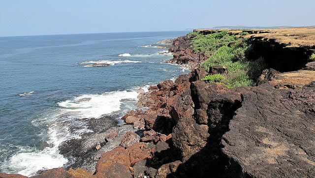
Ambolgad is situated at a height from the main sea level. The total area covered by the fort is approximately 1200 Sq. Metres. It has the sea guarding it from the South and has deep moats on the northern and western side. The current condition of the fort is very bad. A small part of the fortification and walls on the sea side are still visible. Apart from this, there is a square well and remnants and plinths of various constructions in the fort. The Math of Gagangiri Maharaj is situated near the fort.
Type : Coastal Forts.
Fort Range : None.
District : Ratnagiri.
Grade : Easy.
How to reach : The route to this fort goes from Rantagiri – Adivare – Nate – Ambolgad. The other route is through Rajapur – Nate – Ambolgad.


